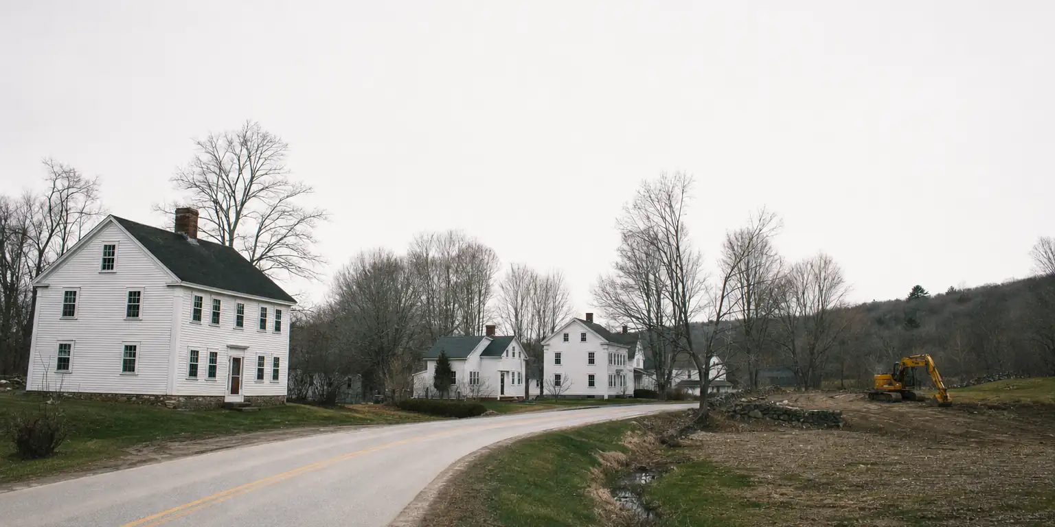
(401) 479-1472

Glocester, RI

One town. Three villages. Three different excavation jobs.

Glocester runs from the dense Chepachet historic core out through residential Harmony and into rural West Glocester at the Connecticut line. Each village has its own scope of work, its own soil, and its own set of constraints.

01

Chepachet

Historic district · 1842 Dorr Rebellion site

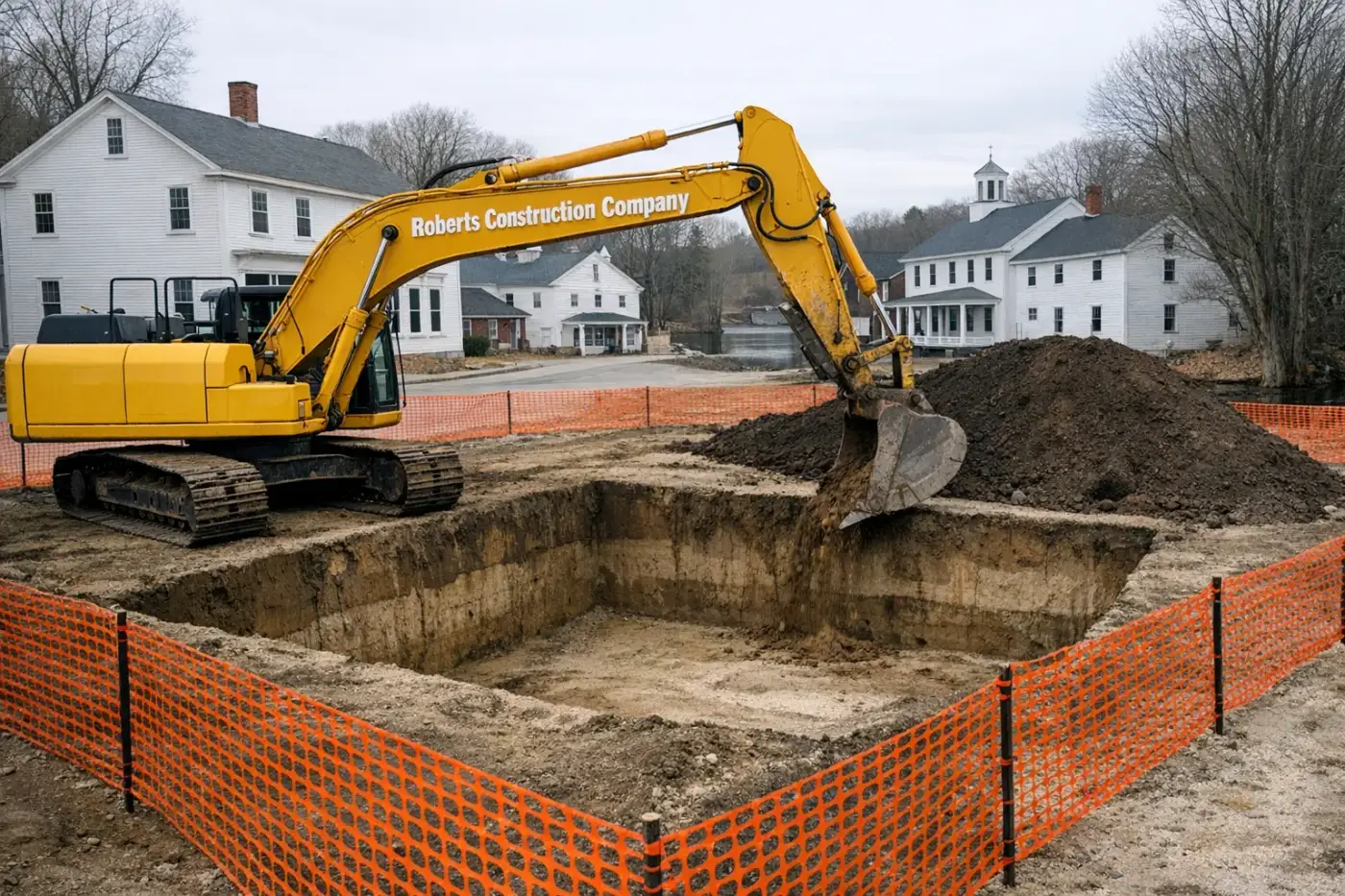
The dense old village core along Route 44. National Register Historic District boundaries cover the heart of it — the Stagecoach Tavern, the original mill cluster, and the surrounding 19th-century houses. Excavation work in Chepachet means tight-lot foundations, sewer-lateral and water-line trenching where laterals exist, and careful work around stone walls and historic-district sightlines.

Typical job mix

  • ·Tight-lot foundations
  • ·Lateral & supply-line trenching
  • ·Historic-aware site prep

02

Harmony

Residential ridges · Putnam Pike east

The east-side residential half of Glocester, hugging the Smithfield line. Larger lots than Chepachet, mostly OWTS septic and drilled wells, glacial till with intermittent ledge. Foundation digs for new builds, leach-field replacements on aging systems, and drainage work on lots that fall toward the Ponaganset and Woonasquatucket headwaters are the regular calls.

Typical job mix

  • ·New-build foundations
  • ·OWTS replacement
  • ·Drainage on falling lots

03

West Glocester

Rural acreage · Putnam, CT line

The town’s western edge runs straight to the CT border — five minutes from our Sterling shop. This half is the most rural: bigger acreage, longer driveways, denser woods, and ledge that gets stubborn. Buck Hill Management Area and the George Washington MA cover thousands of acres up here. Job here is rural-RI excavation: clearing, OWTS, well lines, gravel access roads.

Typical job mix

  • ·Long rural driveways
  • ·Land clearing
  • ·Well-line + OWTS

What every Glocester job has in common.

Three things hold across all three villages. The job specifics change; these don’t.

Wastewater
No public sewer anywhere in town. Every property runs an OWTS — Onsite Wastewater Treatment System — designed by a RIDEM-licensed designer and installed under a RIDEM Office of Water Resources permit. New-construction OWTS, repairs, and replacements all flow through the same state-level approval before town inspections.
Water
Drilled private wells throughout. We coordinate well siting against the leach field and property lines, trench the supply line, and set the well pad. Drilling itself is a licensed driller’s scope.
Wetlands & clearing
RIDEM Freshwater Wetlands buffers reach further than most owners expect — Glocester is full of small streams feeding the Ponaganset, the Chepachet, and the headwaters of the Woonasquatucket. We map regulated features before clearing and coordinate any in-buffer work through RIDEM.

Frequently asked — Glocester

Five questions about Chepachet historic work and rural Glocester acreage.

Are Chepachet's historic-district rules strict for excavation?
The Chepachet Village Historic District is listed on the National Register and reviewed by the Glocester Historic District Commission. Below-grade work on private property is usually straightforward; exterior facade work, retaining walls, and street-front excavation typically need review. We coordinate with the commission before mobilizing on a contributing structure.
What's typical for a Harmony or West Glocester rural-lot dig?
Big lots, glacial till with intermittent ledge, and RIDEM-permitted OWTS. Foundation work on rural Glocester runs the same playbook as eastern CT — test-pit first, contingency for rock, and full-trench septic with generous separation. Access drives and farm pads are regular work.
How does the Branch River affect riverside Glocester lots?
FEMA-mapped flood zones along the Branch River and Chepachet River cover meaningful riverside acreage. Elevation certificates and BFE compliance apply to new construction in the SFHA. RIDEM Freshwater Wetlands review applies within 200 feet of the regulated rivers — wider than CT's standard buffer. We pull FIRMs and a wetlands review before quoting riverside work.
Is there ledge throughout Glocester or only in certain areas?
Intermittent throughout, more common in the western and northern sections (Pascoag-adjacent uplands, West Glocester). We test-pit foundation corners on any lot in Glocester before committing to design depth — the ledge can surface a foot shallower than the prelim soil report calls for.
Can you do farm-pond and homestead-spring work?
Yes. Glocester's rural acreage supports recreational and agricultural ponds; we've done quarter-acre to multi-acre installs with clay liners, engineered overflows, and rip-rapped outlets. Spring development on homestead lots is regular work — RIDEM doesn't permit the spring itself, but any downstream discharge needs a wetlands review.

Tell us which village you’re in. We’ll match the crew and the permit path to it.