Call for Free Estimate

Scituate, RI

The town that holds Rhode Island’s drinking water.

The Scituate Reservoir was built between 1915 and 1925 by flooding five villages. Today it supplies water to roughly 60% of Rhode Islanders. That fact controls almost every excavation permit in this town.

Three rings from the reservoir.

What you can build, repair, or install changes with the band you’re in. The shape and tightness of each ring reflects regulatory reach — closer to the reservoir, narrower the work envelope.

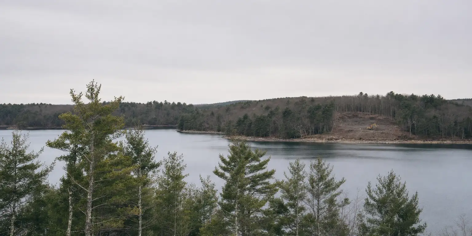
Inside the watershed

Drains to the reservoir

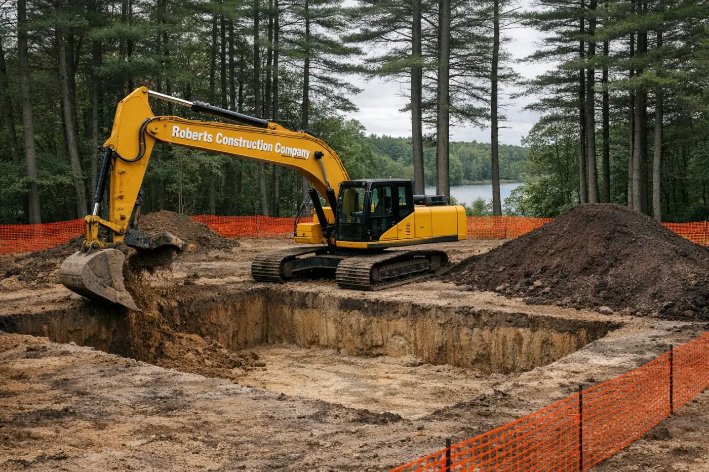
  • ·OWTS replacements with PWSB-aware design
  • ·Drainage that captures and infiltrates on-site
  • ·Foundation digs with sediment control held to a tighter standard

Most of Scituate drains into the Scituate Reservoir, which supplies drinking water to roughly 60% of Rhode Island. If your parcel sits inside the watershed boundary, the Providence Water Supply Board (PWSB) and RIDEM both have a say. Excavation, drainage, and OWTS work all need to anticipate watershed protection — typical projects can still happen, they just need to clear an additional review tier.

Reservoir-adjacent

Within ~200 ft of reservoir or major tributary

  • ·Erosion-control repair on existing yards
  • ·Slope stabilization above tributaries
  • ·Drainage retrofits, not new development

Buffer parcels along the reservoir, the Ponaganset, the Moswansicut, and the named tributaries are the strictest tier. PWSB owns large buffer holdings outright and reviews anything that could affect surface water quality. Most direct-buffer parcels are not buildable; the work in this band is usually drainage repair, slope stabilization, and erosion control on existing structures.

Outside the watershed

Edges that drain elsewhere

  • ·Standard OWTS install + repair
  • ·Foundation digs, ledge work
  • ·Driveways and rural site prep

Slivers of Scituate drain east toward the Pawtuxet or north toward the Woonasquatucket — outside the reservoir watershed. Work here looks like Glocester or Foster: standard rural Rhode Island excavation, RIDEM OWTS, drilled wells, town building permit. The watershed layer drops off, but everything else stays.

Why Providence Water sits in every conversation

The reservoir doesn’t belong to Scituate. It belongs to the City of Providence.

When the Providence Water Supply Board built the reservoir in the 1920s, it took ownership of roughly 23,000 acres in Scituate alone — almost the entire reservoir buffer plus large upstream holdings. Five villages were dismantled. The remaining residential parts of Scituate are deliberately concentrated around the edges.

That history is why a Scituate excavation permit conversation almost always involves PWSB, not just the town. We coordinate the watershed review path early, design OWTS and drainage systems with infiltration and erosion control held to a tighter standard, and treat any tributary as a regulated feature until we’ve confirmed otherwise.

Villages we cover

North Scituate — town center, most active residential work. Hope — partly in Scituate, partly Coventry; mill village along the Pawtuxet South Branch. Clayville — small village on Route 14, mostly residential. Rockland and Potterville — sparser south-side villages near the watershed core. Glen Rock — west side, near the Foster line.

Scituate jobs are about getting the watershed review right before any of the dirt moves. We’ll walk it with you.