(401) 479-1472

West Greenwich, RI

The most forested town in Rhode Island, and most of it is reserved for someone’s drinking water.

Watershed advisory

A large portion of West Greenwich sits inside or adjacent to the Big River Management Area — about 8,300 state-owned acres held by the Rhode Island Water Resources Board as a future drinking-water supply. The first question on a West Greenwich job isn’t soil. It’s where you are relative to that boundary.

Where your lot sits decides what stacks on top of the permit.

Three practical zones in West Greenwich. Most parcels touch more than one — the strictest tier controls.

Zone 01 · Watershed-restricted

Inside or adjacent to Big River Management Area

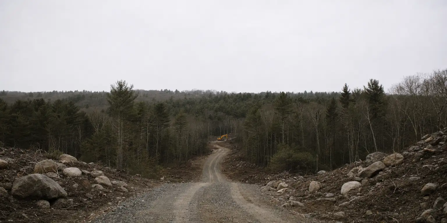
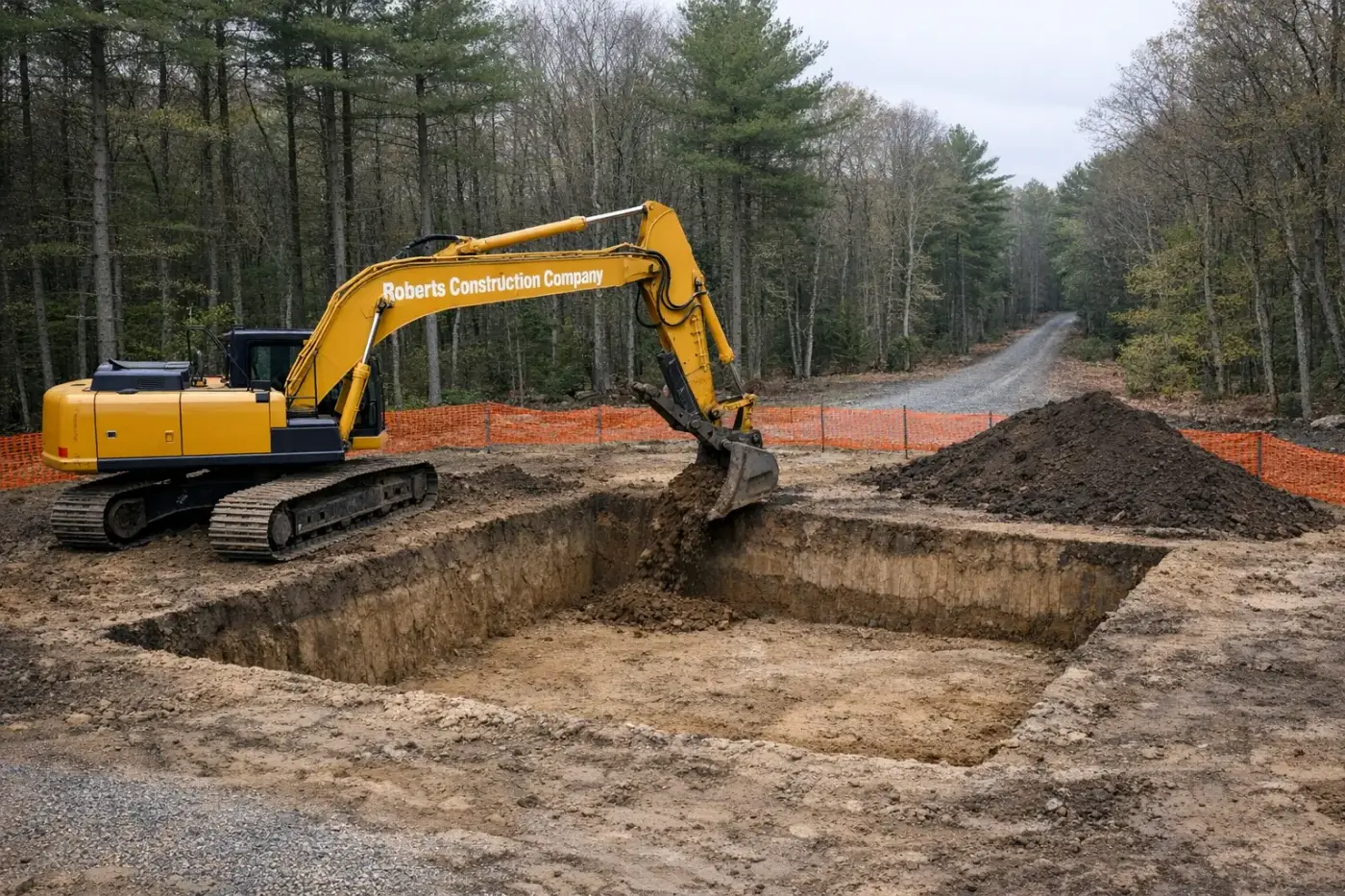
Big River is roughly 8,300 acres held by the RI Water Resources Board as a future drinking-water supply. Parcels inside the boundary or close to it draw an extra layer of state review on anything that could affect surface or ground water. OWTS design, drainage, and any earthwork close to a tributary need to anticipate watershed scrutiny. We pull the boundary on day one and design from there.

Permits stacked

  • +RIDEM Office of Water Resources (OWTS, drainage)
  • +RI Water Resources Board notification on bordering parcels
  • +RIDEM Freshwater Wetlands review for buffered features

Zone 02 · Wetlands-buffered

Within RIDEM freshwater wetlands buffer

RIDEM regulates wetlands at the state level — most relevant buffers are 50 ft from a perennial stream, 100 ft from a pond, and 200 ft from a priority feature. West Greenwich is wet country: small ponds, beaver flowages, and seasonal streams thread through every quad. Even a driveway extension or a leach-field replacement can land inside a buffer. We map first, design second.

Permits stacked

  • +RIDEM Freshwater Wetlands Application
  • +RIDEM OWTS for septic work in buffers
  • +Town Planning Board if subdivision-related

Zone 03 · Standard rural

Upland, outside both

Most West Greenwich lots large enough to build on still have an upland portion that’s outside both the Big River boundary and any mapped wetland buffer. Job here looks like Foster: glacial till, possible ledge, OWTS via RIDEM, drilled well, long driveway. Standard rural Rhode Island excavation, just deep in the trees.

Permits stacked

  • +RIDEM OWTS approval (state)
  • +Town of West Greenwich building permit
  • +Dig Safe (811)

The work itself, regardless of zone.

Once the boundary work is done and the permits are in motion, the dirt isn’t very different from what we run in Foster or Sterling. Glacial till uplands, scattered ledge, OWTS leach fields, drilled wells, and long driveways through trees. We test-pit foundations before committing to depth, quote rock as a contingency, and trench supply lines off the well. The West Greenwich complication is mostly above the soil — it’s in the paperwork.

Wickaboxet State Forest, the Big River parcels, and a patchwork of smaller management areas add up to a town that’s more state forest than house lots. We treat that as the operating condition rather than an exception.

Frequently asked — West Greenwich

Five questions about large-acreage West Greenwich work.

Are West Greenwich lots typically large-acreage?
Yes — West Greenwich zoning favors larger lots than the state average, and big rural acreage is common across the town. That gives us room to site OWTS generously, lay out access drives for staged construction, and place outbuildings without breaking up the productive part of the lot. We almost always have more lot to work with here than in neighboring suburban-RI towns.
Is the I-95 corridor a separate permitting jurisdiction?
Anything in the I-95 right-of-way is RIDOT, not the town. Frontage parcels along the corridor still go through West Greenwich Building and Planning, but anything that touches the highway shoulder, exit ramp, or DOT-owned easement needs RIDOT coordination. We pull boundary maps before quoting on I-95-adjacent work.
What's typical for ledge in West Greenwich?
Intermittent ledge through most of the town, more concentrated in the western and southern sections. The till is strong bearing once you're past topsoil; the surprise is shallow ledge that surfaces a foot or two above prelim soil-report depth. We test-pit foundation corners before committing to design depth on any new construction.
Do you do recreational pond and trail-access work?
Yes. West Greenwich's rural-acreage character supports recreational ponds, trail access, and homestead-scale earth moving. We've done quarter-acre to multi-acre ponds with clay liners and engineered overflows, gravel access drives through working forest, and erosion control on cleared trail corridors.
Are there wetlands along the Big River Management Area?
Yes — the Big River Management Area is a RIDEM-managed conservation area covering a large section of West Greenwich. RIDEM Freshwater Wetlands review applies within 200 feet of regulated waters; any work in or near the BRMA itself needs additional coordination with RIDEM Fish & Wildlife. We pull wetlands review and BRMA boundary maps before quoting adjacent work.

We’ll pull the boundary, walk the lot, and tell you what your West Greenwich job actually involves before you commission the OWTS design.