
Excavation in Willimantic, CT — three centuries of ground to read.
Thread City earned its name from the mills that powered it, left its signature in the housing stock, and kept its downtown on the National Register. Knowing that history is how you plan a Willimantic job.
Four eras on the same ground
A Willimantic lot carries every era that came before it.
Each era built something — or undid something — and each one left a signature on today’s excavation work.
- 1706Settlement
Sawmill and gristmill at the river junction.
What it built
English colonists settled where the Natchaug and Willimantic Rivers meet, building the first sawmill and gristmill to tap the water. A 90-foot drop west of the junction became the power source that would define the town.
What it means for excavation today
The rivers still define Willimantic's geography. The Natchaug watershed stays lightly developed — about 75% forested — so drainage on any riverside lot respects a surprisingly healthy stream system.
- 1800sTextile era
The Thread City economy takes shape.
What it built
The 19th century built Willimantic around textile mills powered by that same 90-foot drop. Dense worker housing filled the blocks between the mills and Main Street, and the infrastructure — sewers, water, rail — was laid to serve an industrial downtown, not a modern residential one.
What it means for excavation today
A lot of our downtown work here is managing that legacy: rubble-stone foundations under mill-era houses, basements too shallow by modern standards, and sewer laterals from a different century under narrow streets.
- 1985American Thread closes
Mill complex shuts down.
What it built
When American Thread closed its Willimantic plant in 1985, it left behind one of the largest surviving mill complexes in New England — a campus of buildings that's since been redeveloped into lofts, offices, and apartments along the Willimantic River.
What it means for excavation today
Conversion and retrofit work on and around the old mill complex continues. Sewer/water lateral upgrades, foundation stabilization, and careful tight-access excavation near the river and the preserved structures are regular jobs.
- TodayCollege town
ECSU, the Frog Bridge, and a busy Main Street.
What it built
Eastern Connecticut State University sits on the north side of town, and the Main Street Historic District (on the National Register since 1982) anchors downtown. The Thread City identity has been reclaimed — the iconic Frog Bridge, new restaurants, breweries, a working college community.
What it means for excavation today
Mix of job types today: campus-adjacent site work, downtown sewer and water upgrades through Windham Water Works, foundation and drainage work on the residential streets climbing north and south of the valley.
Types of excavation in Willimantic, CT.
Six services we run most often here, each tagged with the era or system the job tends to live in.
Foundation work in mill-era homes
1800s legacySewer & water laterals
Windham Water WorksBasement excavation & egress
Worker-cottage retrofitDrainage on Natchaug-adjacent lots
Watershed-awareROW utility trenching
Engineering Dept permitSite prep & land clearing
College-town residential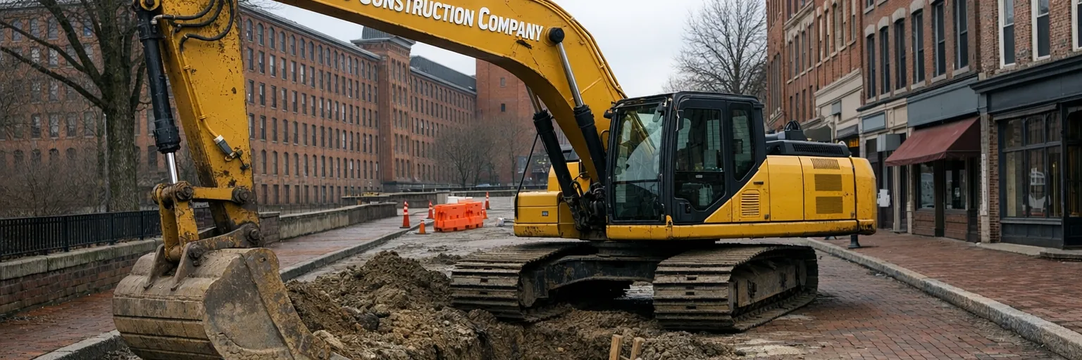
Permits · Water · Historic
Working with Windham, not around it.
Willimantic is administered by the Town of Windham. ROW excavation permits — street cuts, utility trenches, sewer and water taps — go through the Windham Engineering Department, which processes over 100 of them a year. Construction permits for foundations and additions go through the Windham Building Department.
Water service is through the Windham Water Works, a municipal utility drawing from the Willimantic Reservoir — roughly 84 miles of main across three storage tanks. Main extensions and service repairs involve their policy requirements, including bonding on certain scopes.
Downtown’s Main Street Historic District has been on the National Register since 1982. Most private below-grade work doesn’t trigger review, but access, staging, and any exterior scope does — we coordinate when it applies.
General guidance only. Confirm current requirements with the Town of Windham (Engineering and Building Departments) and the Windham Water Works for your specific parcel and scope.
Excavation services we run in Willimantic
Willimantic and Windham — every scope below runs locally.
Septic & sewer
Foundations & structure
Drainage & water
Site, clearing & grading
Driveways, utilities & access
Frequently asked — Willimantic
Five questions about working Thread City mill-era streets and lots.
- Who permits excavation in Willimantic?
- Willimantic is a borough of the Town of Windham — permits for ROW excavation (water, sewer, utility trenches, street cuts) go through the Windham Engineering Department, which processes over 100 permits a year. Construction permits (foundations, additions) go through the Windham Building Department. We handle both tracks.
- How does water service in Willimantic work?
- The Windham Water Works is the municipal utility. It draws surface water from the Willimantic Reservoir and delivers it through roughly 84 miles of water mains and three storage tanks. Tie-ins, service upgrades, and main extensions are coordinated through the Water Works, with permits and bonding requirements depending on scope.
- What's the deal with mill-era homes in downtown Willimantic?
- Willimantic grew as a textile-mill town around the 1706 Willimantic River drop and peaked when American Thread ran here. That left downtown dense with 19th- and early-20th-century worker housing and mill buildings — many now converted to lofts. Typical excavation here: undersized basements, rubble-stone foundations, aging sewer and water laterals under narrow streets, and careful access around neighboring historic structures.
- Are there flood concerns along the Willimantic and Natchaug Rivers?
- Yes. Both rivers have FEMA-mapped flood zones running through the city, and the junction where they meet catches a meaningful slice of downtown parcels. Elevation certificates and BFE compliance apply to new construction in the SFHA. We pull current FIRMs before quoting riverside or downtown low-point work.
- What's required for excavation near old mill canal infrastructure?
- Willimantic's mill canals are partially abandoned, partially buried, partially still water-carrying. We pull historical maps before any dig within 200 feet of a known canal alignment — surprises here can be expensive. CT DEEP inland wetlands review applies to any open-water section, and structural assessments are recommended near canal-related walls and abutments.
Three centuries of ground on one lot. Let’s plan your Willimantic project.