
Coventry, RI · west → east
Underground utilities in Coventry change every few miles. Read the town west to east.
Drive Route 117 from the Connecticut line to the Pawtuxet valley and you cross three different utility worlds in one 62-square-mile town: private wells and septic in the rural west, cottage-lot puzzles around Johnson’s Pond and Tiogue Lake, and Kent County Water Authority mains with town sewer in the eastern villages. We install underground utilities in all three — the trench is the same trade, but the planning isn’t.
Western Coventry
Wells & OWTS — everything private
The lakes
Small lots, tight separations
Eastern villages
KCWA water · town sewer
Zone W · Greene, Summit, Rice City
West of Route 102, every utility is private.
No public water, no public sewer — western Coventry runs like Foster next door. The underground work out here is the supply side of country living: trenching water lines from a drilled well to the house below frost depth, running OWTS piping between tank and leach field, and pulling electrical conduit out to detached garages, barns, and workshops that sit a few hundred feet off the house.
The complications are glacial till, ledge outcrops, and distance. A 400-foot well-line run through boulder-laced till is a different estimate than 40 feet of suburban lawn, and long rural driveways usually need drainage crossings sleeved in at the same time so the driveway only gets opened once. Parcels near the town’s southern edge pick up one more layer: the Big River Management Area, roughly 8,300 state-owned acres held for future drinking-water supply, which adds state review to work close to the boundary.
Trench once, sleeve everything: on new western Coventry builds we routinely lay water, conduit, and a spare sleeve in a single shared trench with proper separation — cheaper now than three mobilizations later.
Zone L · Johnson’s Pond & Tiogue Lake
The lake lots: full-size utilities on quarter-size parcels.
Johnson’s Pond — the Flat River Reservoir, with about 17 miles of shoreline now owned by the Town of Coventry after the eminent-domain fight that settled years of water-level disputes — and shallow Tiogue Lake are ringed with cottages platted long before modern utility codes. Most lots sit outside both the KCWA water area and the sewer district, so each one carries its own well and OWTS on ground that might measure 5,000 square feet.
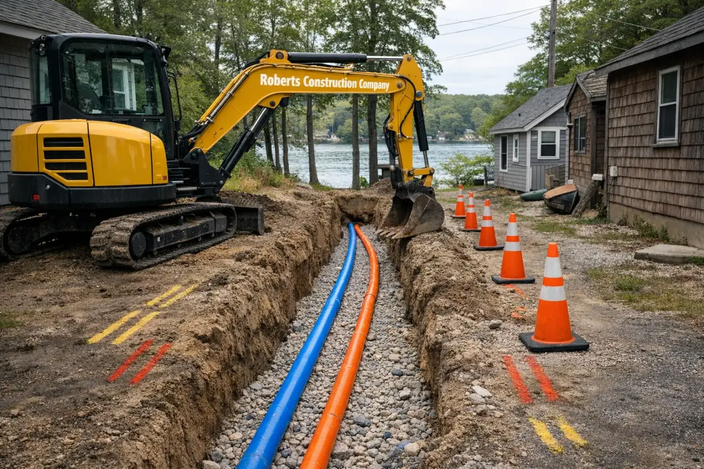
That makes lake-community utility work a geometry problem before it’s a digging problem. RIDEM separation distances between well and leach field, wetland buffers off the water, the neighbor’s well ten feet over the line — we draw the whole lot before we commit a trench route. Year-round conversions add upsized water service, deeper bury depths, and often a second conduit for mini-split or generator circuits, all threaded through utility trenching tight enough that we frequently work with a mini-excavator where a full-size machine won’t fit between cottage and lot line.
On Tiogue, RIDEM freshwater-wetlands jurisdiction and Coventry Conservation Commission review reach work near the shoreline, and septic setbacks from the lake run larger than the standard 100 feet — worth knowing before you buy, not after.
Zone E · Anthony, Quidnick, Washington
The eastern villages: taps, laterals, and a sewer system with no plant.
East of Route 102 the mains finally appear. Kent County Water Authority supplies the village core — most of its water purchased from Providence Water out of the Scituate Reservoir, the rest from wells in the Mishnock aquifer straddling the Coventry/West Greenwich line. New water service installation here means a coordinated tap to a KCWA main and a trench to the meter — we handle the excavation, bedding, and backfill around the authority’s connection work.
Sewer is the part people get wrong. Coventry’s Sewer Authority runs a collection system — collector sewers, interceptors, four town-owned pump stations — but no treatment plant: everything flows to the West Warwick Wastewater Treatment Facility under an intermunicipal agreement in place since 1999. And the sewered area covers only part of eastern Coventry, so two houses a street apart can be one on sewer, one on septic. Before we quote a sewer lateral, we verify a main actually runs past your frontage.
In the Anthony Village Historic District — on the National Register since 2010 — the streets carry 150 years of accumulated mill-era piping. Lateral replacements there get hand exposure at every questionable crossing and clean restoration of the streetscape when we’re done.
Every Coventry utility job starts with Dig Safe (811) — mandatory in Rhode Island before any excavation, whether the parcel is a marked-up village street in Anthony or an unmapped private road on Johnson’s Pond. Public sewer connections go through the Coventry Sewer Authority; water taps go through Kent County Water Authority; OWTS work is permitted by RIDEM with the town building official handling the rest.
General guidance — confirm current requirements with Dig Safe, KCWA, the Coventry Sewer Authority, RIDEM, and the Town of Coventry for your specific parcel and scope.
Utilities — frequently asked
Five utility questions we field across Coventry, west to east.
- Does Coventry have public sewer, and who runs it?
- Partially. The Town of Coventry's Sewer Authority operates a collection system — collector sewers, interceptors, and four town-owned pump stations — in parts of eastern Coventry. There is no treatment plant in town: flow is conveyed to the West Warwick Wastewater Treatment Facility under an intermunicipal agreement dating to 1999. Plenty of east-side streets still have no lateral in front of them, so we confirm street by street before quoting a connection.
- Who supplies water in eastern Coventry?
- Kent County Water Authority serves the eastern villages — Anthony, Quidnick, Washington, and the Tiogue corridor. Most of KCWA's supply is purchased from Providence Water out of the Scituate Reservoir, with the balance from wells in the Mishnock aquifer near the Coventry/West Greenwich line. West of the service area, every property runs on a private well.
- Can you run new water and sewer lines to a Johnson's Pond cottage?
- Usually the question is well and septic, not water and sewer — most lake lots sit outside the public service areas. On a 5,000–10,000 square foot cottage lot the real work is fitting a code-compliant well line, OWTS, and electrical service into a footprint that was never designed for them, while keeping RIDEM's separation distances. We map everything before the first trench.
- Is trenching different inside the Anthony Village Historic District?
- The digging is the same; the context isn't. Anthony's mill-village core went on the National Register in 2010, and its streets carry generations of undocumented laterals, drains, and abandoned mill-era piping. We hand-expose where Dig Safe marks look uncertain and keep trench lines tight to protect sidewalks, stone curbing, and mature trees.
- What does Dig Safe cover on private lake-community roads?
- Dig Safe (811) marks member-utility lines, and it's mandatory before any excavation in Rhode Island. But on private roads around Johnson's Pond and Tiogue Lake, plenty of what's buried — old well lines, cottage-to-cottage electrical, orphaned drains — was never registered with anyone. We treat private-road digs as unmapped until we've potholed the crossings ourselves.
Wherever your parcel sits on the gradient, start with a walk-through.
We’ll tell you which utility world your lot lives in, what’s actually in the street, and what the trench will cost — before you commit to a design. Broader scope? See our Coventry excavation page, our Coventry demolition page, or the full underground utilities service overview.
Also in CoventryExcavation Demolition